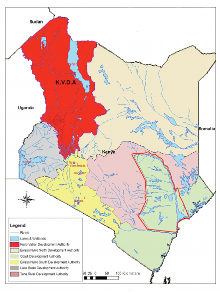
The Suam River Basin, covering an area of 5,900 km2, stretches down from Mount Elgon to the Turkwel Gorge. The basin is drained by the Kanyangareng River from the North-West and by the Suam River from the South-West. Flow regimes of the Suam River at Kongelai and on the upper Suam are good throughout the year with two to three relatively dry months.
There are two peak flow periods, May and August, corresponding to the wettest months. January to March is a relatively dry period and hence there are low flows in these months. The melting of snow on Mount Elgon from August to December increases the base flow in the upper section of the Suam River.


